
Ras ein is a climb of 7.7 kilometers 0 . It is located in מועצה אזורית ערבות הירדן, יהודה ושומרון, Palestinian Territory. 0 with a maximum of 0.1%. 0
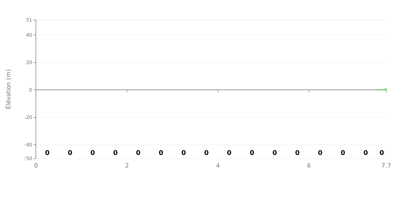
Difficulty analysis: This 7.7 km climb has an average gradient of 0% and a total elevation gain of 1 meter. According to the data provided, it's a dead-flat course for nearly its entire length, with a very slight 1% ramp over the last 200 meters. The Category 4 rating is surprising and doesn't match the standard technical profile of a climb.
Tips for the effort:
1. Steady rhythm: Hold a high, consistent power output as you would on a flat time trial. The difficulty comes from the distance, not the gradient.
2. Aero: Get into a tucked, aero position to cut wind resistance, a key factor on this type of course.
3. Final push: Save a little acceleration for the last 200 meters at 1% if you're chasing a good time.
7.7 km • 0 m D+
VAM: average climbing speed, based on elevation gain


Join thousands of cycling fans! Plan your rides, record your performance, track your progress and discover the finest climbs.
Live climb profile to pace your effort all the way to the top.

