
Metsoke Dragot is a climb of 5.3 kilometers 0 . The climb finishes at 1 m above sea level. It is located in מועצה אזורית מגילות ים המלח, יהודה ושומרון, Palestinian Territory. 0 with a maximum of 0.5%. 0
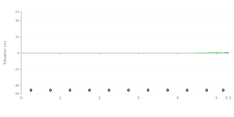
Difficulty breakdown: According to the data provided, this climb has an average gradient of 0% and 0 meters of elevation gain over 5.3 km. So this is a completely flat stretch, not a climb. The 4th category rating is an anomaly, since there's no elevation difficulty to deal with at all.
Tips for managing your effort:
- Pacing: Ride this like you would on flat terrain, holding a steady cadence in your aerobic zone.
- Aero: Get into a tucked, aero position to cut wind resistance, which will be the main source of effort here.
- Recovery: Use this section to eat, drink, and recover before the real steep stuff.
5.3 km • 0 m D+
VAM: average climbing speed, based on elevation gain


Join thousands of cycling fans! Plan your rides, record your performance, track your progress and discover the finest climbs.
Live climb profile to pace your effort all the way to the top.

